
Arapahoe County Neighbors in Public Records
The block record starts with geography, not a person’s name. ArapaMAP can show parcel lines, streets, districts, and the parcels that touch an address. The Arapahoe County Assessor Property Search then supplies a card for each parcel, with a listed owner, situs, mailing address, legal description, sales, and building or land fields. A county voter list may add registered names and status fields, while a deed or permit adds a date and party trail. Each source answers a different question.
| Source | What It Shows About a Block | Access |
|---|---|---|
| ArapaMAP parcels | Adjacent geometry, streets, districts, parcel IDs, aerial view, and buffer choices | Free GIS viewer |
| Assessor parcel cards | Listed owner, situs and mailing address, legal description, sales, values, building and land | Free portal, one card at a time |
| Recorder deeds | Recorded parties, legal descriptions, transfer dates, reception or book and page trail | GovOS name search from 1980; older book/page route |
| County voter lists | Public registered names, address, status, precinct, district, party, and permitted history | Basic file or custom request |
| HOA and local-history sources | Association contact routes, past occupants, organizations, newspapers and photos | Referral, request, library, or museum access |
Owner evidence is not occupant proof. A mailing address may point to a different city, trust, estate, or representative. A registered voter may not be an owner, and a household member may not be registered. A neighbor lookup is strongest when parcel, time, and record type stay attached to every claim.
Note: A parcel card identifies a listed owner, not every household member or person present on the Arapahoe County block.
Locate an Arapahoe County Neighbor Parcel
Begin in the county’s GIS Location Info tool or ArapaMAP. An address or parcel ID can return jurisdiction, parcel ID, districts, and location context. When a parcel has several situs addresses, the tool may return only the first or a random address. Open the parcel card and test the address variants before treating one result as complete.
ArapaMAP offers Parcel, Address, Colorado PLSS, USGS PLSS, School, Jurisdiction, and GPS Coordinate locate modes. AINs use a hyphenated form such as 0000-00-0-00-000. PINs are numeric, keep leading zeroes, and begin with 03. A partial parcel ID such as 2077-16-2 can narrow the map before the exact parcel is known. Those identifiers are better bridges to neighbors than a postal city alone.
Buffer an Arapahoe County Block
Once the target parcel is visible, turn on parcel, aerial, and street layers. Click an adjoining feature or use selection and radius tools. For a repeatable block search, select the target, open Buffer Selected Features, choose a radius and units, then decide whether every feature must fall completely within the buffer and whether the original parcel stays in the set.
- Record the target address, parcel ID, jurisdiction, map scale, and date.
- Select each touching parcel or set a measured buffer around the target.
- Open the parcel link for each selection and note the AIN or PIN.
- Read the assessor card for owner, mailing and situs fields, then save the legal description.
- Use a deed or permit only when a transfer, project, or date needs proof.
The viewer offers feet, meters, miles, kilometers, and chains. Its Print Map panel also records title, paper size, orientation, scale, and fit. A map makes the neighbor set reproducible. It does not create a block roster.
The Arapahoe County ArapaMAP parcel viewer capture shows the map controls used to move from one address to nearby parcels in a neighbors lookup.
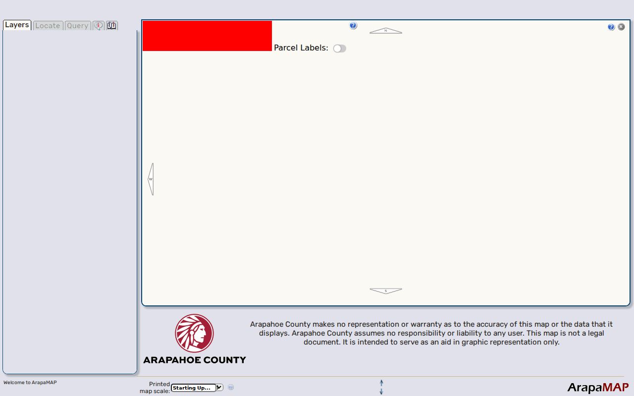
Keep the parcel key, radius, map scale, and date with the result before opening adjacent owner cards.
Note: A measured buffer makes the parcel set reproducible, but it does not turn nearby parcels into a resident roster.
Arapahoe County Parcel IDs to Owner Cards
The assessor search supports AIN, PIN, or address. Address mode accepts a number or range, a street name of at least three letters, and an optional unit. The search instructions say to leave out direction and street type. Six results appear per page, with pagination for a longer street segment. Exact AIN or PIN search is better when several units or similar street names appear.
The card may show a full owner list, ownership type, neighborhood and code, acreage, land use, legal description, assessed values, sales, tax district, building characteristics, land details, photo, sketch, and parcel map. The sample card linked sale pages for tax years 2005 through 2025. A sales row is a lead to the recorder, not the deed itself. It also does not prove who lives at the situs.
- Situs address
- The physical location of the parcel used for map and property searches.
- Mailing address
- The address used for tax correspondence to the listed owner, which may differ from the parcel.
- Legal description
- The lot, block, subdivision, or other land description that ties a parcel to recorded documents.
- Parcel ID
- A county identifier that can link GIS, assessor, permit, and deed research.
What Arapahoe County Voters Show Nearby
GoVoteColorado is a person match, not a street map. It asks for first name, last name, date of birth, and residential ZIP. The public return may include mailing address, precinct or district, party affiliation, and county clerk contact, subject to protected status. The full county list route is different. Arapahoe offers a weekday Basic Voter List and custom lists filtered by precinct or district, party, status, and a selected history interval.
Basic downloads are free. A custom file is listed at $25 for comma-delimited text or $35 for Excel, with printed copies at $0.25 per page. Public lists exclude Social Security numbers, ID numbers, electronic signatures, email, ballot choices, confidential voters, and preregistered minors. The result can add civic context around a parcel, but it cannot prove that every person at the address is a neighbor.
HOA Contacts Around an Arapahoe County Block
The county’s homeowner and neighborhood association route is a referral and notice system, not a member database. An association in unincorporated county land can update a contact through the HOA Referral List Form. The county uses that route for land-use notices, code changes, and community meetings. An association inside a city or town should be routed to that municipality.
The form asks for an HOA name, management company, primary contact, required primary email, website, mailing address, phone, meeting details, location, crime-watch choice, and election month. It also distinguishes unincorporated county land, Four Square Mile, Denver City and County, City of Aurora, and “Not Sure.” Those choices expose a local jurisdiction quirk, but they do not reveal a household list or private membership.
For a civic contact, use the association’s published route or the county referral form. Do not infer membership from a parcel card, a map, or a nearby name.
The Aurora neighborhood and ward map hub shows how city-level geography can sit beside county parcel research.
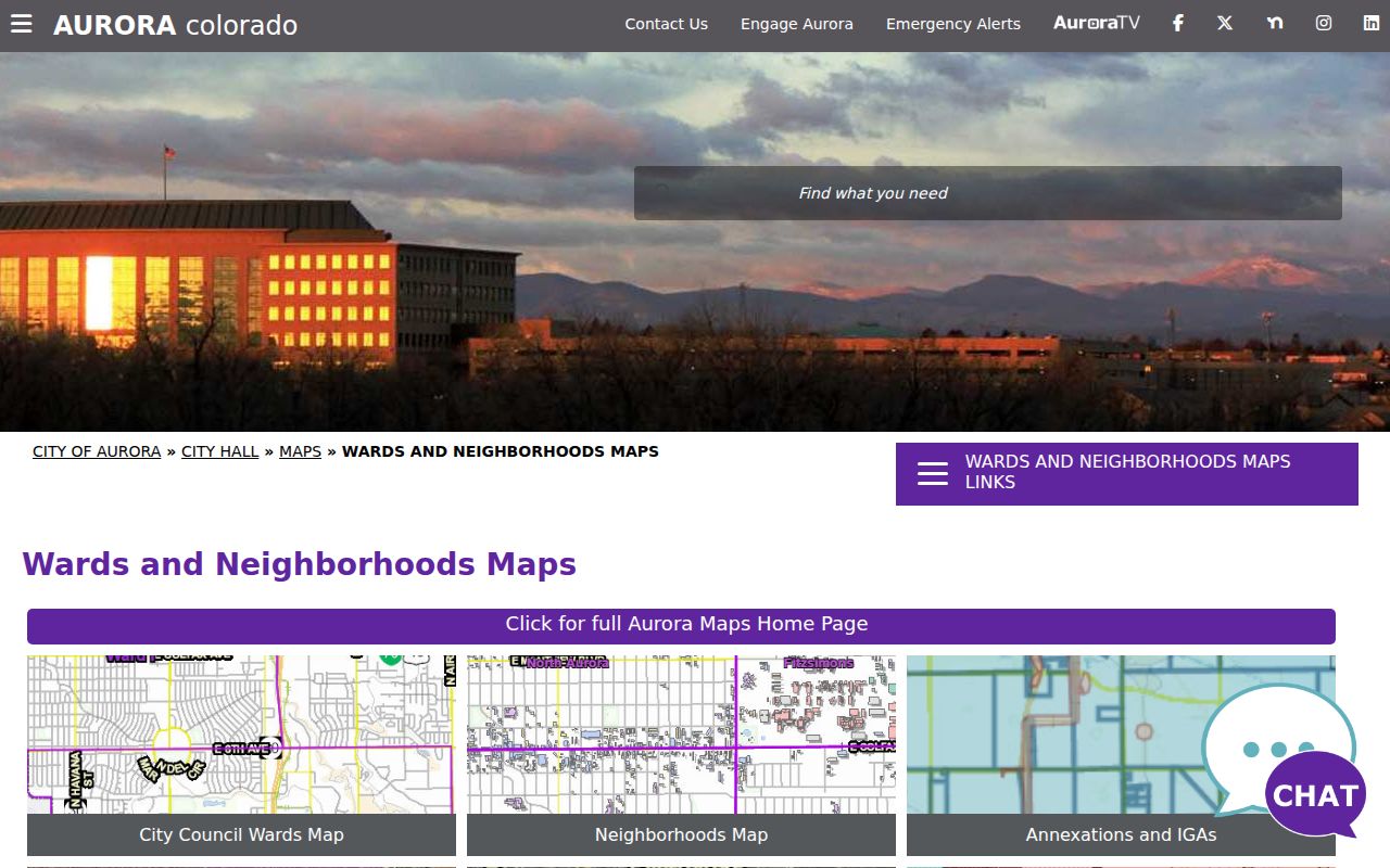
A municipal map is a routing aid. It does not supply a public membership list or prove who occupies any parcel.
Note: An association referral supplies a contact route, not a public membership list for neighboring homes.
Recorded Covenants and Local Routing
Neighborhood covenants can be a useful community clue because the Clerk and Recorder page identifies the recorded-document code COV. Search the Recorder system or contact the Recording Division at 303-795-4200 for the correct document path. A covenant can name an association or describe a subdivision. It is not a member roster and does not establish who is at a parcel today.
Jurisdiction matters before a request is sent. County Public Works holds unincorporated land-development, zoning, building, engineering, and transportation records. Aurora, Centennial, Englewood, Littleton, Sheridan, Greenwood Village, and other incorporated places keep their own city records. ArapaMAP’s jurisdiction result should decide which office receives a permit or planning request.
Historical Neighbors in Local Collections
Past neighbors are often found in the reverse-directory layer rather than a live portal. Denver Public Library’s householder directories cover 1924-1937, and the local 1932 Western Arapahoe County and 1939 Arapahoe County District XL volumes include area residents, businesses, and street material. The 1887 Denver directory’s second volume is organized by address. Use the old street string, year, and municipality together.
Littleton Museum has newspaper microfilm, maps, oral histories, photos, and files on people, businesses, churches, schools, and farms. Aurora History Museum supplies finding aids, supervised research, historic surveys, and digitized newspaper routes. Englewood’s Share Your Heritage collection adds interviews, photos, local clubs, organizations, and newspaper material. These sources can show how a block changed. They cannot turn a past listing into current occupancy.
Four Square Mile is an especially useful local prompt. The county form places it roughly between Mississippi and Yale and Dayton and Quebec, with both Denver City and County and City of Aurora choices. Postal naming, parcel jurisdiction, and neighbor records can therefore point to different offices.
Official Rolls Versus Neighbor Tools
Official sources are narrow but traceable. The assessor identifies a listed owner. The GIS viewer identifies parcel geography. A deed shows a recorded transaction. A voter file shows registration fields allowed by Colorado rules. An HOA route supplies contact or notice information when an association chooses to publish it.
| Record path | Useful strength | Limit |
|---|---|---|
| County parcel and deed records | Legal land, owner, transfer, and description links | Does not list every occupant |
| Voter records | Registration, district, status, and permitted history | Protected and unregistered people are absent |
| Commercial people-finder category | May combine public and purchased fragments | Can be stale, conflated, costly, or hard to correct |
A commercial result is not a replacement for the custodian. For a wrong owner, voter, deed, court, or license match, contact the office that created the record and ask about its correction route.
The Arapahoe County homeowner and neighborhood association page explains the referral route for unincorporated associations.
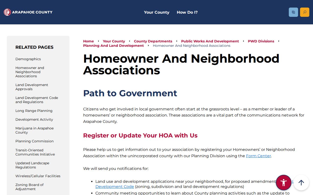
That distinction keeps a community source useful without overstating what it contains.
Privacy Boundaries for Arapahoe County Neighbors
Public parcel data does not list every person present at a property. DMV personal information is limited by the federal Driver’s Privacy Protection Act. Utility accounts, delivery records, private association membership, meeting attendance, and personal communications are not county street rolls. Colorado’s Address Confidentiality Program gives eligible survivors a substitute address and confidential mail handling, and protected voters are excluded from ordinary county lists.
Lawful use. Use Arapahoe County neighbor records for personal, lawful research, civic awareness, family history, and safe community contact. Do not combine records to watch, threaten, harass, or intimidate a person; Colorado stalking and harassment laws still apply when each source is public.
When a neighbors lookup seems wrong or missing, absence is not proof that a person never lived nearby. It may reflect a protected address, a stale record, a different municipal custodian, or a record type that does not track occupants. Keep the claim as narrow as the source.
Note: A protected or missing result can reflect an access rule rather than an empty parcel or an absent neighbor.